Professional Land Surveying
Topographic Survey
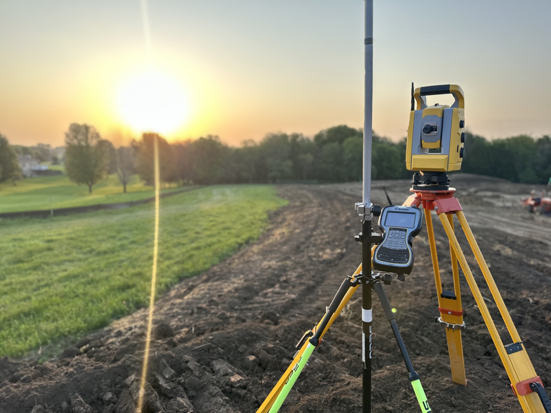
A topographic survey documents the physical features of a site, including natural terrain and existing man-made improvements. As defined by the Society of Land Surveyors of Iowa, a topographic survey identifies the physical features of the land and the improvements located on it. In doing so, it provides essential information for planning, design, and construction.
In practice, topographic surveys form the foundation for civil engineering, landscape architecture, and land development projects. As a result, project teams gain a clear understanding of existing site conditions before design begins.
What a Topographic Survey Includes –At a minimum, our topographic surveys capture the locations and elevations of key site features, including:
Buildings, streets, parking lots, and paving
Curbs, sidewalks, stairs, and surface transitions
Fences, retaining walls, and other site elements
Trees, vegetation, and drainage features
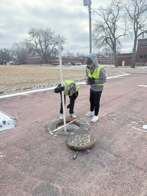
Field-located public utilities and visible infrastructure
Typically, elevation data is shown using one-foot contour intervals. In addition, spot elevations and breaklines are provided where needed. Depending on project requirements, tighter contour intervals or supplemental detail may also be included.
How Topographic Surveys Support Design – Accurate topographic information supports grading, drainage, site layout, utility coordination, and stormwater design. By clearly documenting existing conditions, topographic surveys help reduce design conflicts and improve construction efficiency. Moreover, this information assists with cost estimating, construction phasing, and long-term site planning.
Because of their versatility, topographic surveys are commonly used for site development, roadway improvements, park and trail projects, utility design, and redevelopment efforts. In each case, reliable survey data supports informed decision-making throughout the project lifecycle.
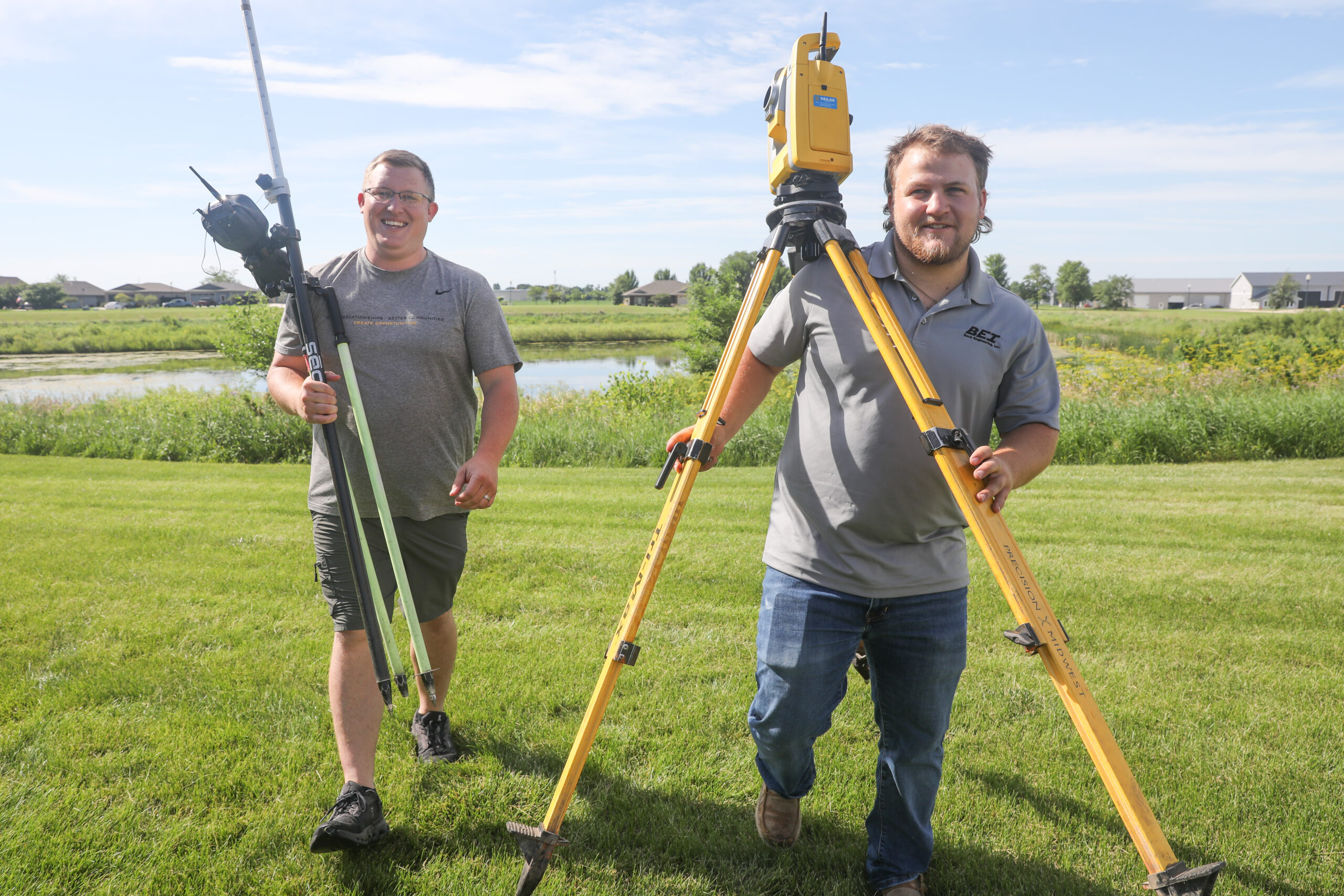
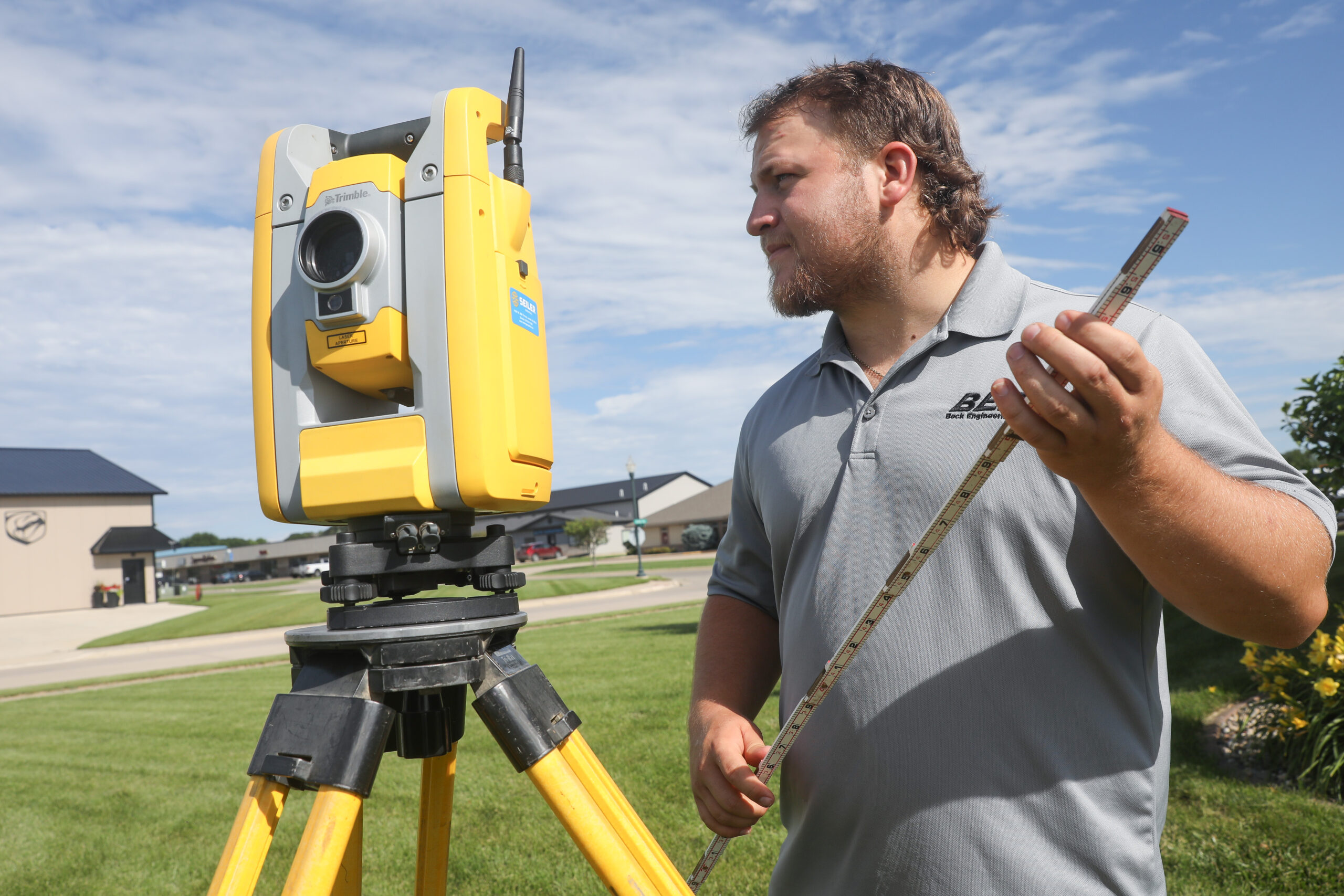
Integrated Surveying Services – Throughout the project, our surveying team works closely with engineers, landscape architects, and planners. As a result, survey data is delivered in formats that integrate seamlessly with CAD and GIS workflows. At the same time, we coordinate with project teams to confirm scope, accuracy, and level of detail.
Ultimately, a well-prepared topographic survey provides clarity, reduces risk, and supports successful project outcomes from initial concept through construction.
SURVEY | DESIGN | INSPECTION | CONTRACT ADMINISTRATION
Learn more about topographic surveying standards and professional practice through the Society of Land Surveyors of Iowa.