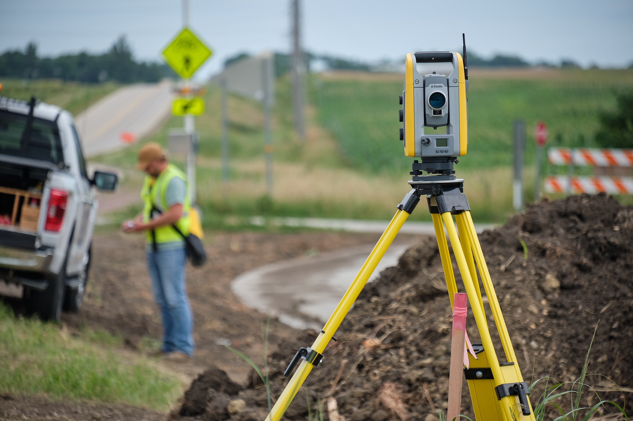
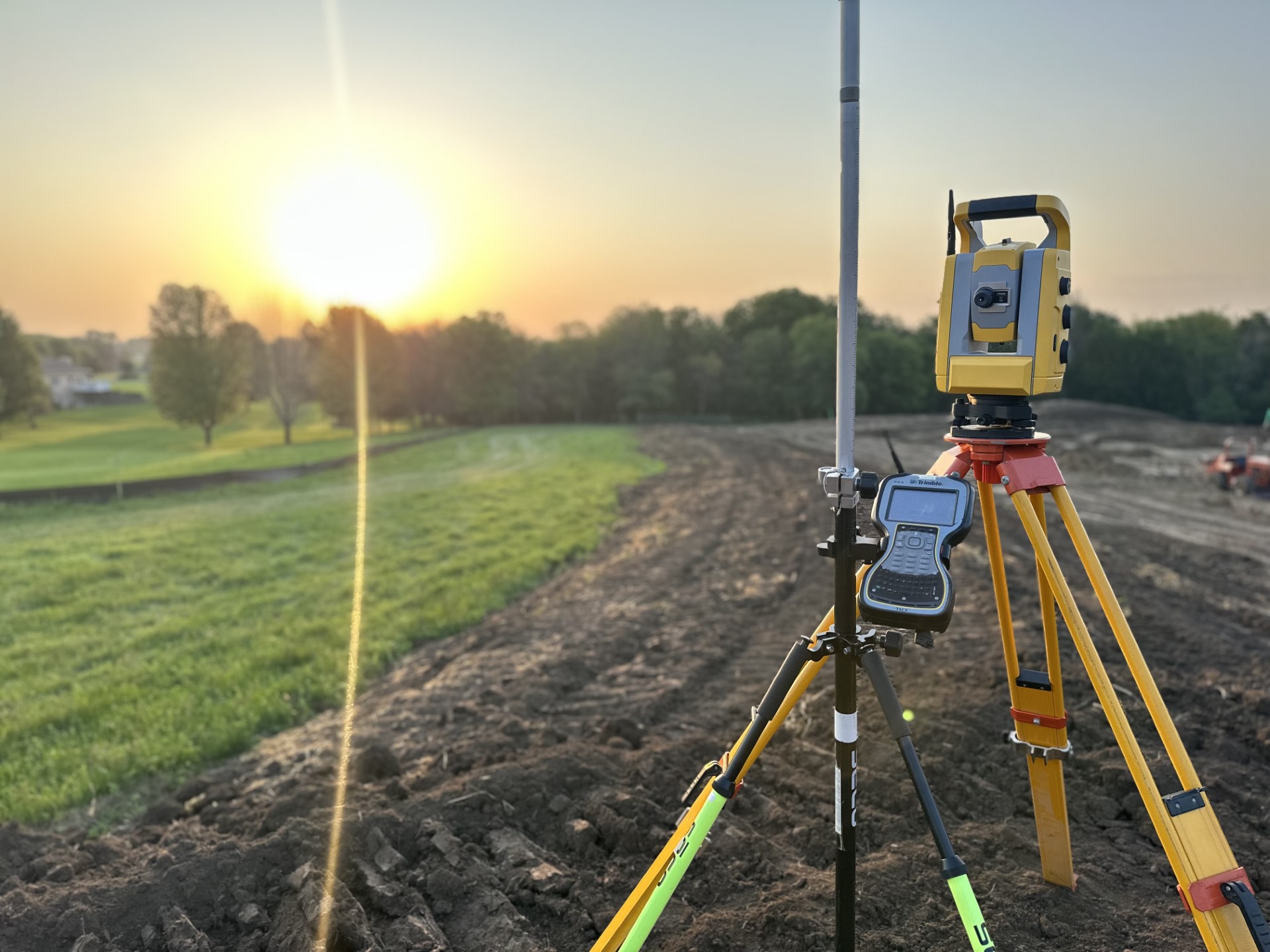
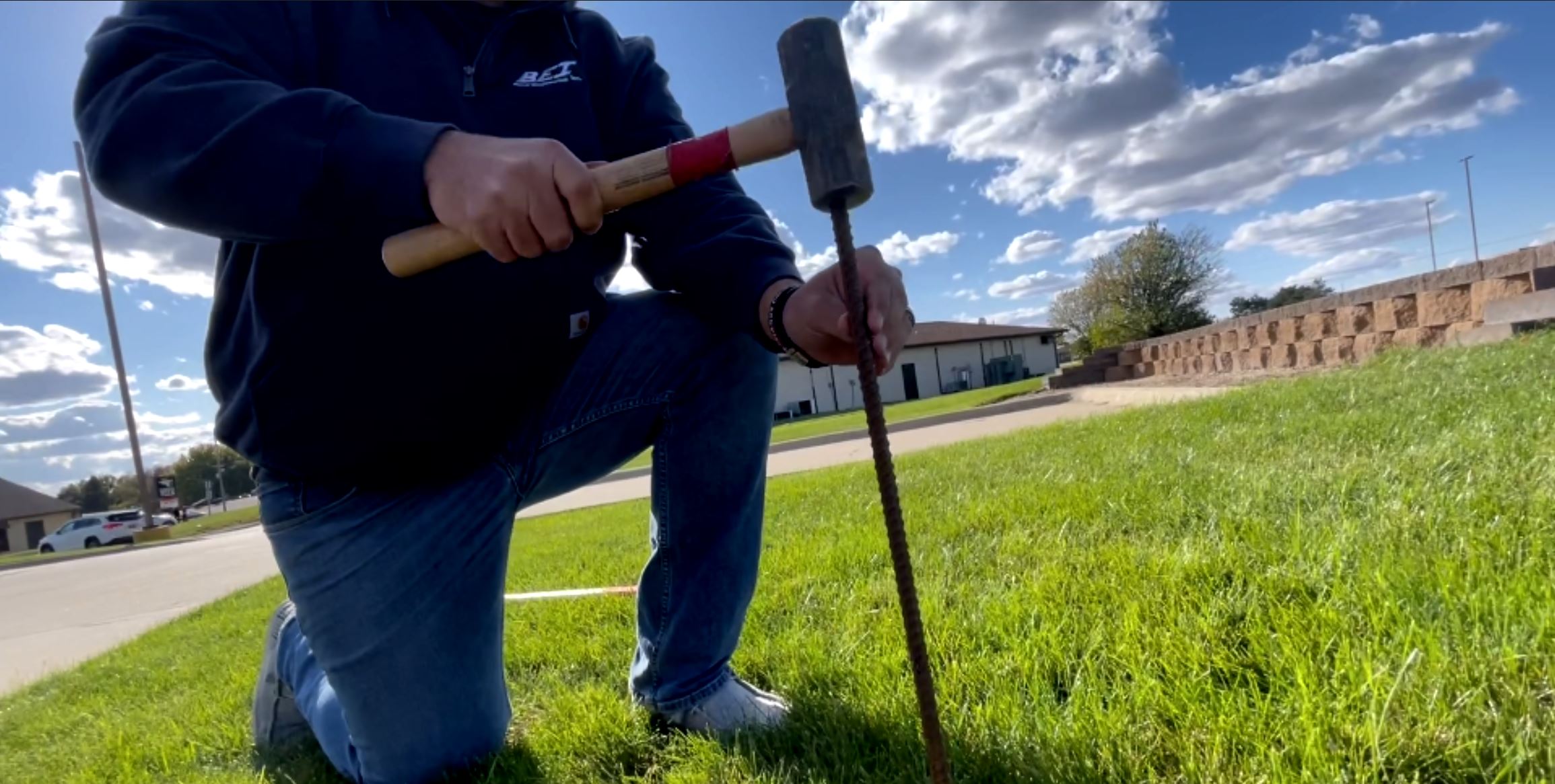
Professional Land Surveying
GIS Mapping
Geographic Information Systems (GIS) mapping is a powerful tool that helps teams collect, analyze, manage, and visualize spatial data. In practice, GIS organizes geographic information—such as land features, property boundaries, utilities, infrastructure, and environmental data—into a digital, map-based format. As a result, project teams can make informed decisions with greater confidence.
At Beck Engineering, our team uses GIS mapping to help clients better understand site conditions, spatial relationships, and patterns across a wide range of projects. For example, these projects range from individual parcels to large municipal systems.
Integrated Spatial Data – In many cases, GIS mapping combines multiple layers of information into a single, interactive map. Specifically, these layers often include:
Property boundaries and parcel data
Aerial imagery and base mapping
Topography and elevation data
Utilities and infrastructure
Transportation networks and trails
Environmental features and floodplain data
By integrating survey data with publicly available and client-provided datasets, our GIS mapping creates a comprehensive view of existing conditions. In turn, this approach clearly illustrates relationships across a site or region.
Supporting Planning and Analysis – During early project phases, teams commonly use GIS to support planning, engineering, and land development efforts. In addition, GIS mapping helps identify constraints, opportunities, and trends. At the same time, spatial analysis evaluates access, connectivity, land use patterns, service areas, and environmental considerations.
Together, these insights improve coordination between surveying, civil engineering, landscape architecture, and planning disciplines. Ultimately, this coordination leads to more efficient and informed project decisions.
Clear Communication and Visualization – Beyond analysis, GIS maps serve as effective communication tools for clients, stakeholders, and the public. By presenting complex information visually, GIS mapping helps teams explain data clearly to audiences unfamiliar with technical drawings or reports.
As needed, teams can tailor maps for specific uses, including public meetings, reports, planning documents, and long-range studies.
Practical, Project-Focused GIS Solutions –Overall, our GIS mapping services adapt to each project’s goals and required level of detail. Whether supporting a single site analysis or a community-wide planning effort, we deliver accurate, organized, and meaningful mapping. As a result, clients gain clearer insights that support sound decision-making.
SURVEY | DESIGN | INSPECTION | CONTRACT ADMINISTRATION
Learn more about GIS mapping technology and spatial data analysis at Esri, the industry leader in Geographic Information Systems.