Professional Land Surveying
FEMA Letter of Map Amendment (LOMA)
A Letter of Map Amendment (LOMA) is an official determination issued by the Federal Emergency Management Agency (FEMA). In simple terms, it clarifies whether a structure or property is located within the Special Flood Hazard Area (SFHA) shown on FEMA Flood Insurance Rate Maps.
Typically, LOMAs are requested when a property or structure is naturally located above the Base Flood Elevation (BFE). However, the property may still appear within the mapped floodplain. As a result, once issued, a LOMA formally removes the affected structure or land from the SFHA for flood insurance and regulatory purposes.
Common Uses for a LOMA – Most often, a LOMA is requested to remove an existing structure from the SFHA in order to:
Eliminate mandatory flood insurance requirements
Reduce flood insurance costs
Provide documentation to mortgage lenders
In addition, LOMAs are used to confirm that all or part of a property lies above the floodplain. In many cases, this determination is completed in advance of new construction or property development.
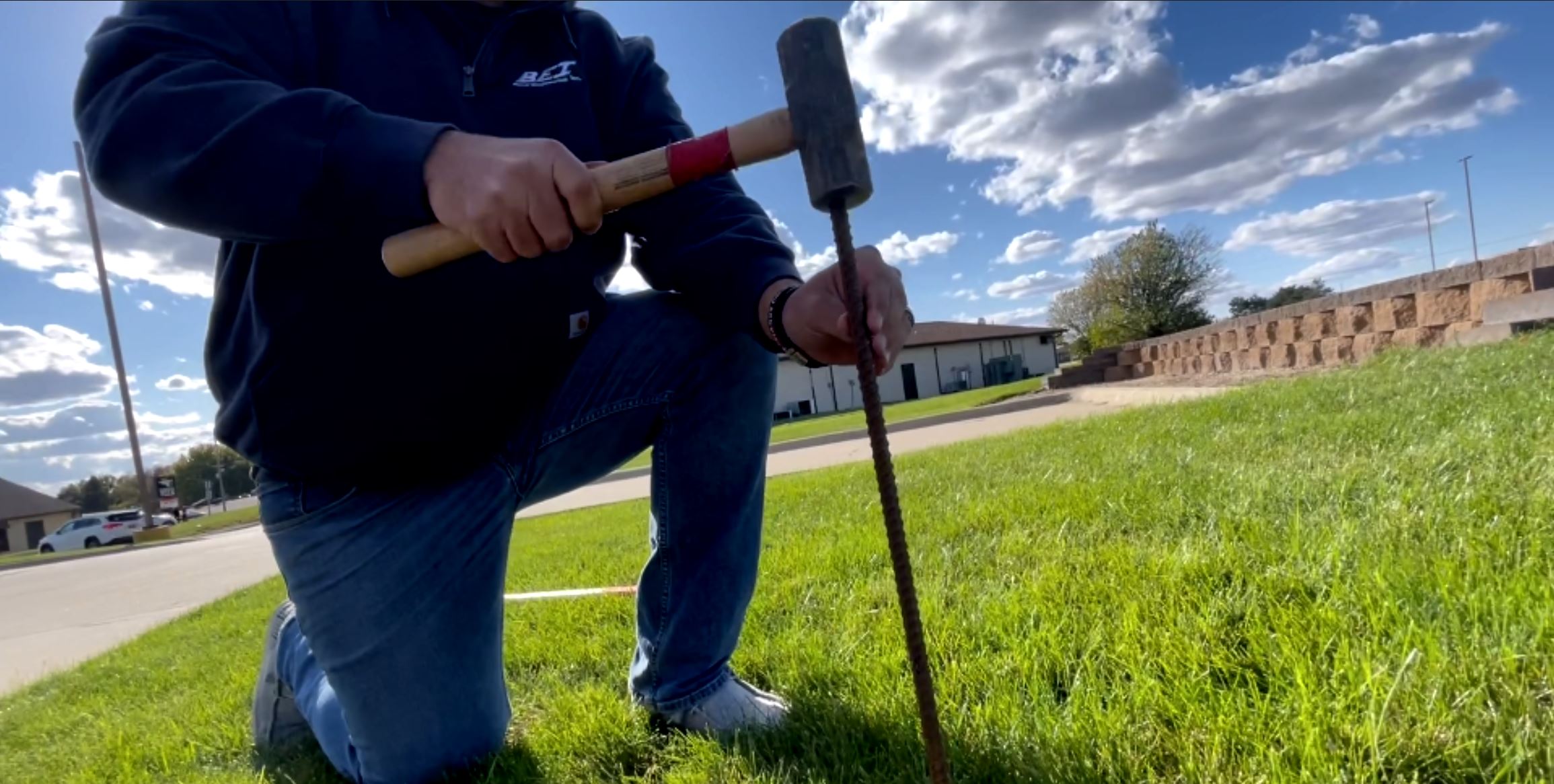
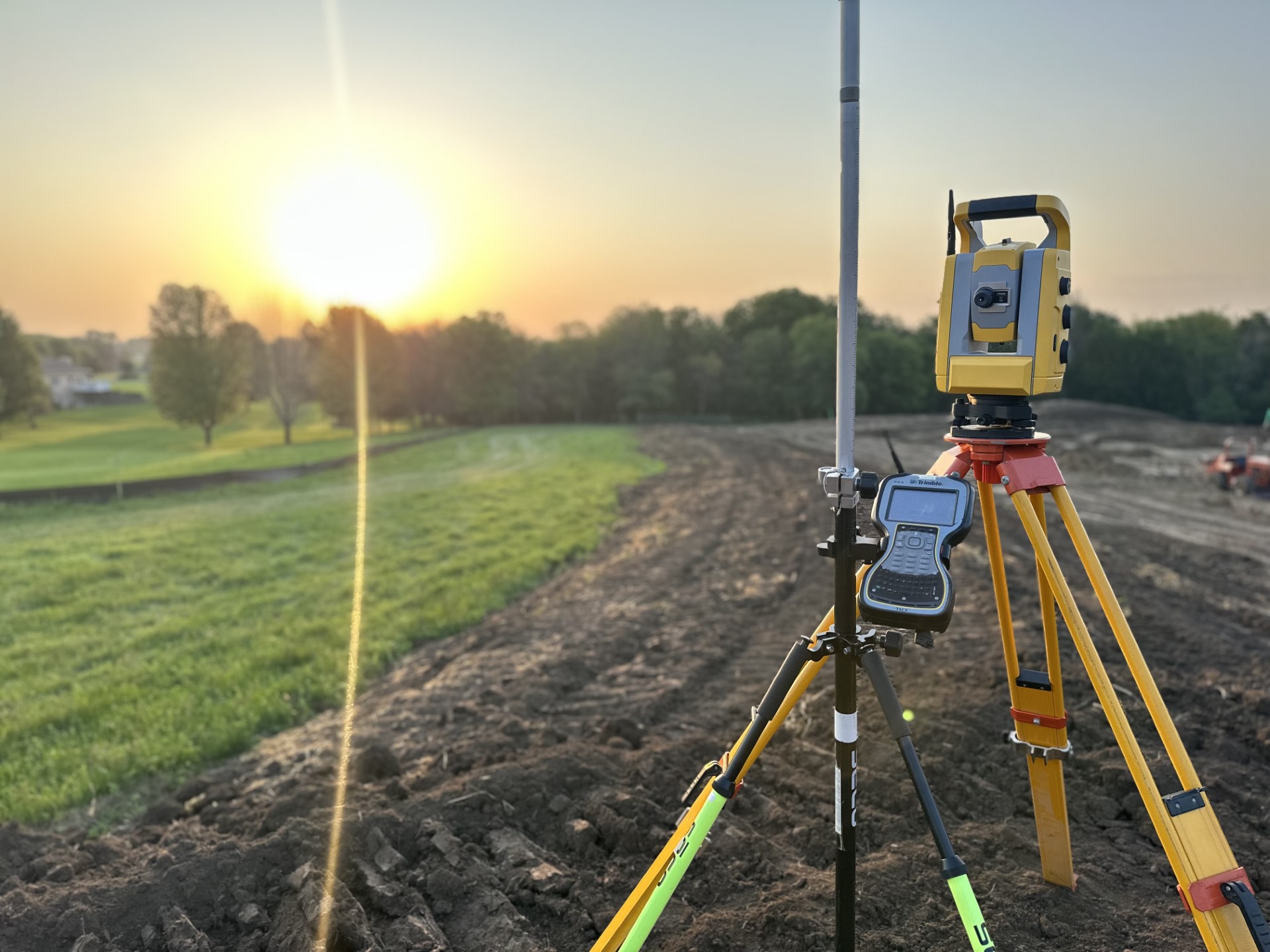
Our LOMA Services – At Beck Engineering, our team assists property owners, lenders, realtors, and municipalities with FEMA-compliant LOMA requests. Using professional surveying methods, we verify ground and structure elevations. As a result, we prepare accurate documentation to support FEMA review and approval.
Why a LOMA Matters – Ultimately, a successful LOMA helps clarify flood risk and reduce unnecessary insurance costs. At the same time, it provides peace of mind for property owners. While a LOMA does not revise the Flood Insurance Rate Map itself, it does serve as FEMA’s official determination for the affected property or structure.
SURVEY | DESIGN | INSPECTION | CONTRACT ADMINISTRATION
Learn more about the FEMA Letter of Map Amendment (LOMA) process and flood map change options at Federal Emergency Management Agency (FEMA).